...
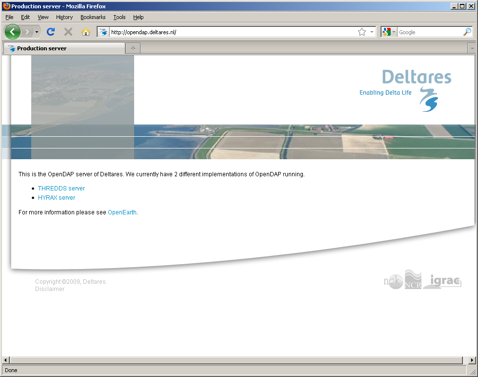
- Go to an OPeNDAP server, e.g. opendap.deltares.nl. A growing list of external OPeNDAP servers is here. OpenEarth has two implementations of OPeNDAP operational running on exactly the same file server: THREDDS and HYRAX. Because they serve the exact same data, it does not matter which one you choose, we choose THREDDS here, because that one seems to have a wider use. Additional implementations are pydap, GrADS and Dapper

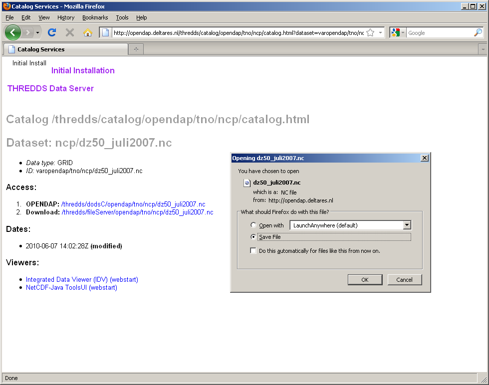
- scroll down the directories: we chose to sort by owner, and then by data name.

- Once you hit netCDF files (*.nc), click on it
- after which you can choose for old-fashioned plain download (2. download), not recommened, as the netCDF files might web very big (GBs):

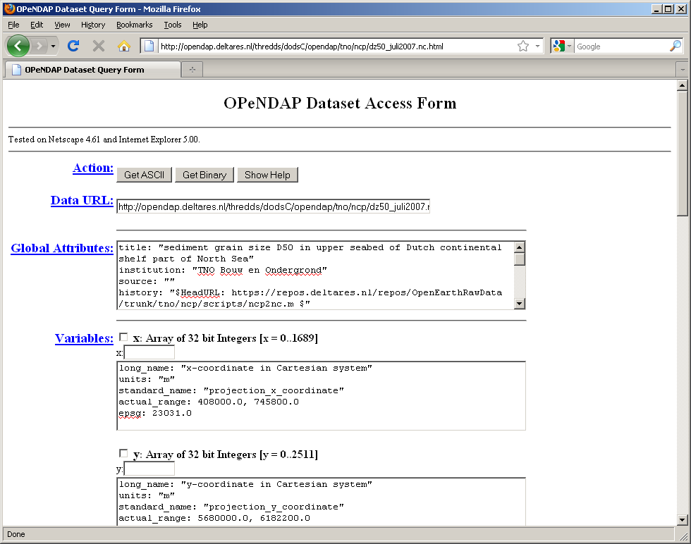
- or access meta-info through the OPeNDAP protocol (1. opendap). For some datasets we provide Google Earth overviews which takes you directly via a deep-link to this meta-info page.

- after which you can choose for old-fashioned plain download (2. download), not recommened, as the netCDF files might web very big (GBs):
- This in the 'DataURL' box can copied into in OPeNDAP-enabled netCDF clients, e.g. Matlab:

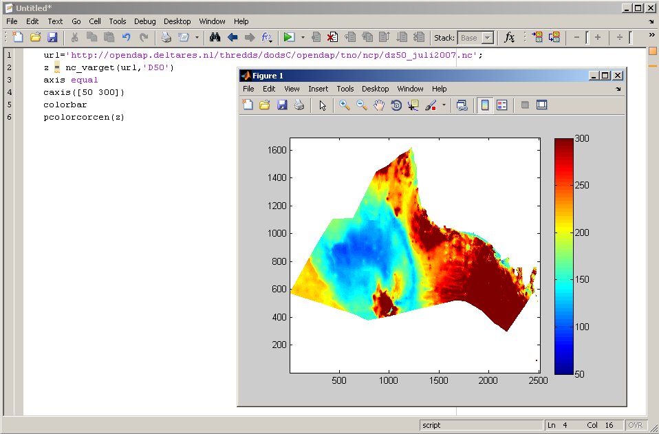
The 'DataURL' string can be used (copy, paste) to read the data directly from the web into various software packages, e.g.:
...