...
Compared to the JIP CoDeS pilot the CoDeS tools framework was extended with following tools and functionality (Figure 2, objective 1):
- Generic data module to arrange the data handling for the different CoDeS tools (Figure 2), including:
- bathymetry definition
- coastline definition
- coastal structures
- wave data import, classification and transformation
- tidal data import and classification
- Tool for the design, optimization and cost quantification of port breakwaters
- Tool for wave penetration (short crested) within a port basin
- Tool for coastline evolution due to alongshore sediment transport gradients and transport blockage by port breakwaters
- Tool for flow field prediction in and around port basin (excluded from final version as decided upon by AB)
- Save/load functionality
...
Working together in sprints using a SCRUM alike methodology was found to provide a very productive, constructive and pleasant working experience during the CoDeS pilot, and is therefore again used JIP CoDeS 1.0. 1.0 project. Furthermore, the threshold for new developers to start-up and join the team is found to be fairly low (~couple of days). In order to streamline CoDeS software development in a professional manner, the software development tool JIRA was introduced in the proceedings starting with the second set of sprint sessions following demo 1.
Way forward
order to manage and structure the development process. Still the technical documentation and testing of the tools should be further professionalized to guarantee a robust framework that will stimulate the use in practice even further.
Way forward
| Status | ||||
|---|---|---|---|---|
|
Parties that are interested to use the tools or participate in future cooperation and development can contact Mr. Wiebe de Boer (wiebe.deboer@deltares.nl) or Mr. Freek Scheel (freek.scheel@deltares.nl).

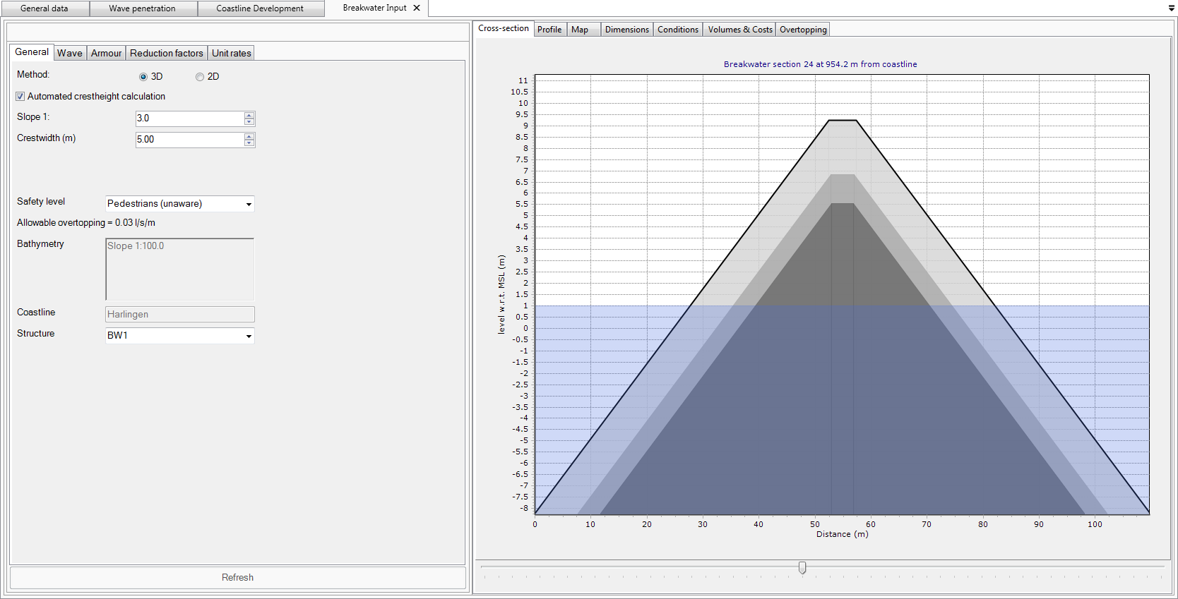


Figure 3: CoDeS tool calculating the tidal statistics at the project locationOverview of the developed CoDeS tools during JIP CoDeS 1.0: general data module (upper left), breakwater design module (upper right), coastline evolution (lower left) and flow fields around the port (lower right).