...
- Open a new project.
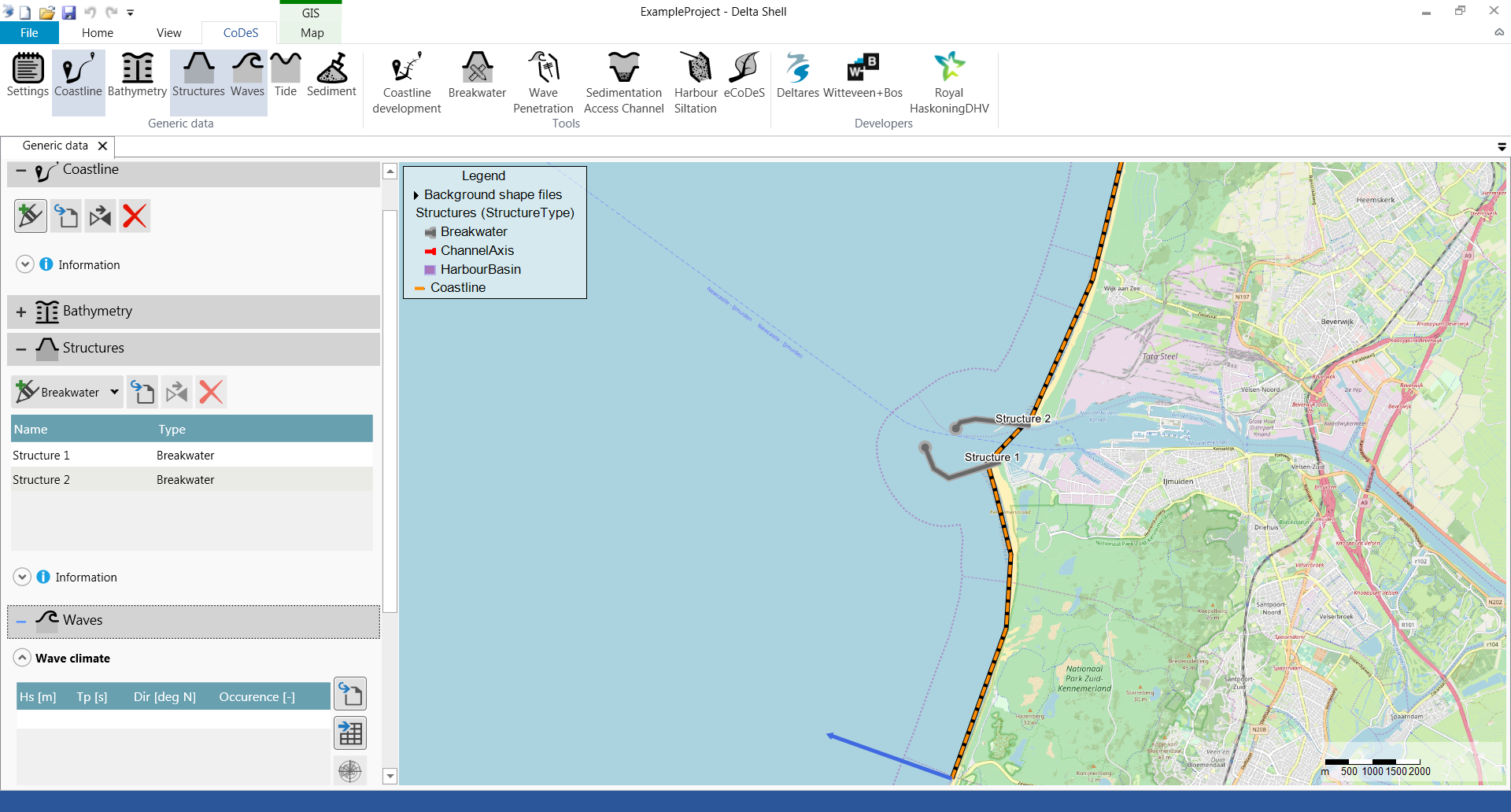
- Start in Generic Data by defining a Coastline, two breakwater structures (which enclose the harbour basin) and a wave climate and/or extreme waves (optional). Make sure that the coastline and the breakwaters intersect.
- Open the Wave Penetration tool.
- Provide input according to the user input field description below.

- Press the play button to start the wave penetration calculation.
- After the calculation is finished, the map is shown with a spatial varying field containing the significant waveheight (in meters) within the harbor basins. The following figures show the difference between using the Analytical (left panel) and Diffrac2DH (right panel) method.


- Press the delete button to delete the output from the map.
User input fields
Wave condition
...