...
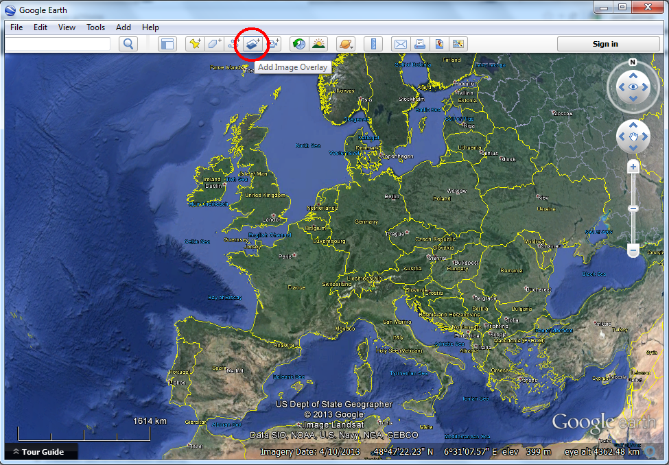
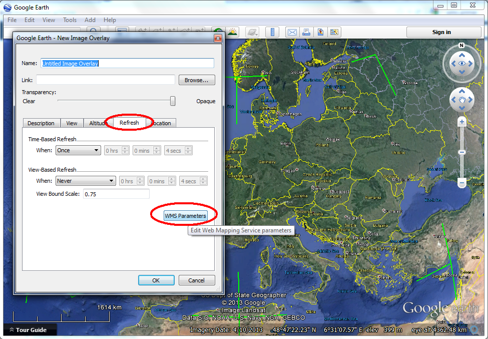
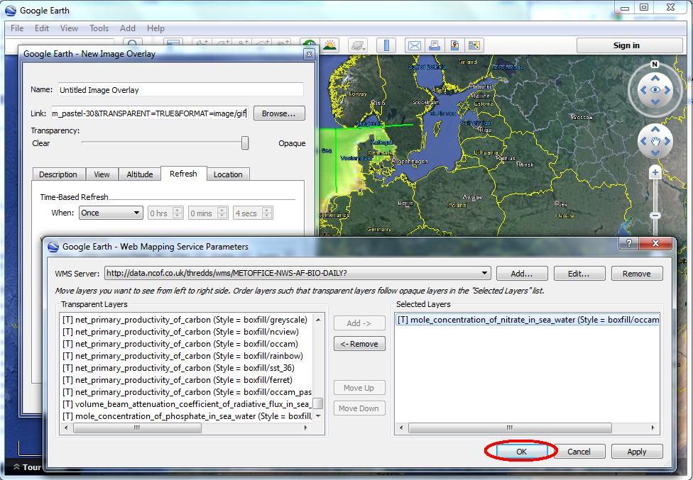
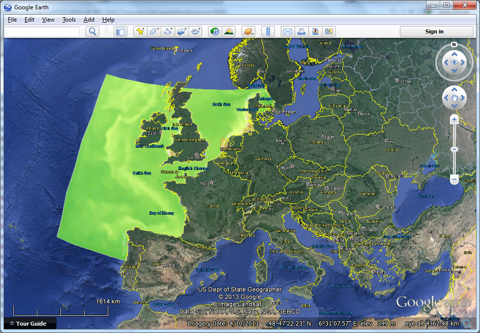
Add a WMS layer via the Google Earth user interface

Add a WMS layer by editing a
...
kml file
If you save the WMS layer you created via the GUI, you can save that to a separate .kml file. IF you save as a .kmz, that is simply a zipped .kml. You can now edit the .kml in an ASCII edit such as notepad, wordpad or textpad, to see what the syntax is for showing a WMS layer in Google Earth.

Once saved, you will see that kml uses a so-called GroundOverlay element. The GroundOverlay is en element that positions any image on the globe by describing its bounding boxes. The image can be a local image, one that you saved to your local harddisk, or a image on the web. For WMS, the image is actually generated on the fly, using a a very long url. We explain the construction of this url on a separate wms primer. Note that you need to replace all & sumbols in the url with the html encoding for aht &.
| Code Block |
|---|
<?xml version="1.0" encoding="UTF-8"?>
<kml xmlns="http://www.opengis.net/kml/2.2" xmlns:gx="http://www.google.com/kml/ext/2.2" xmlns:kml="http://www.opengis.net/kml/2.2" xmlns:atom="http://www.w3.org/2005/Atom">
<GroundOverlay>
<name>vaklodingenKB121_2120 wms</name>
<description></description>
<Icon>
<href>http://opendap.deltares.nl/thredds/wms/opendap/rijkswaterstaat/vaklodingen/vaklodingenKB121_2120.nc?service=WMS&version=1.3.0&request=GetMap&bbox=4.567220799999999,52.9343465,4.7177535,53.047411499999995&layers=z&format=image/png&crs=EPSG%3A4326&width=800&height=600&styles=boxfill/ferret&COLORSCALERANGE=-500,500&TRANSPARENT=TRUE</href>
</Icon>
<LatLonBox>
<north>52.9343</north>
<south>53.0474</south>
<east>4.7178</east>
<west>4.5672</west>
</LatLonBox>
</GroundOverlay>
</kml>
|