...
keyword | value | source | |
|---|---|---|---|
TRANSPARENT | True | Background transparency of map, valid for encoding format that can handle transparency, e.g. png. | standard |
time | yyyy-mm-ddTHH:MM:SSZ | ISO time notation. Only when data are time-dependent. When not specified for data that is time-depended, the latest time is returned. Time is not implemented in most GIS-minded software packages yet. For an example on how to specify time requests see MapServer . For an example of time implementation see the ADAGUC WMS server and WMS web client. | standard |
elevation | number | elevation of layer desired | standard |
BGCOLOR |
| background color of map | standard |
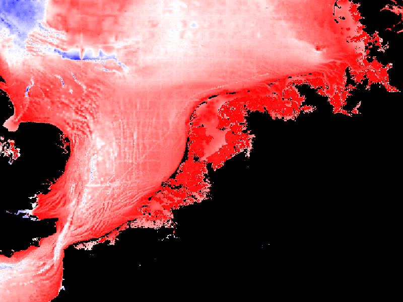
COLORSCALERANGE | "auto" or "min,max" | min. and maximum color range values | NOT STANDARD |
 -
-  -
- 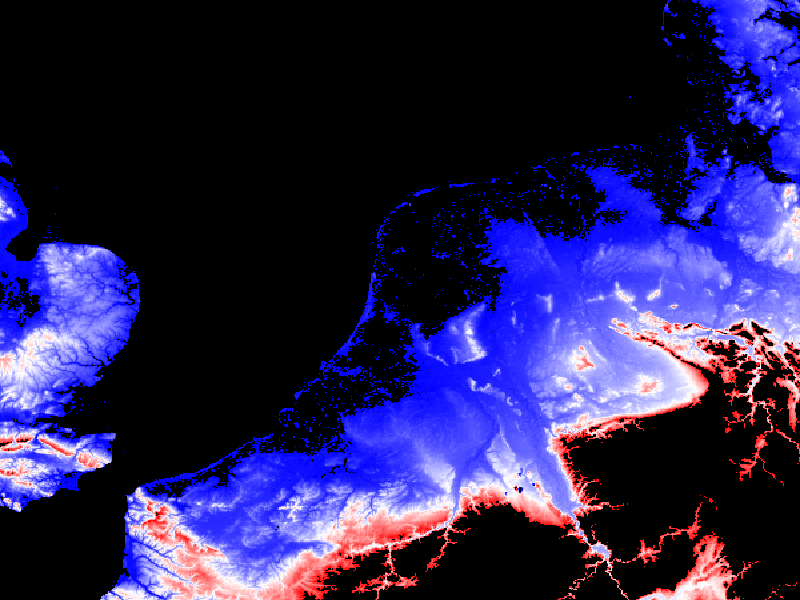
Figure: example of the same image, same style but different COLORSCALERANGE
...