...
Find a data web source that hosts a WMS server (go to an ice cream vendor). You can find WMS servers through hearsay, or via catalog services. OpenEarth provides a limited list to start with. We will use the Shuttle Radar Topography Mission datasets hosted at the Woods Hole Institute THREDDS OPeNDAP server as example in this primer. THREDDS OPeNDAP servers can be configured to serve WMS for orthogonal datasets with proper geographic information.
...
This url will return an xml file that contains an inventory of the available datasets. (You can also request availabe datasets for one WMS version only by appending the optional version keyword.). For GIS package users you do not have to read the rest of this tutorial, you can simply feed http://geoport.whoi.edu/thredds/wms/bathy/srtm30plus_v6?service=WMS to your GIS package that can handle WMS, like Google Earth.![]()
...
keyword | value | source | |
|---|---|---|---|
TRANSPARENT | True | Background transparency of map, valid for encoding format that can handle transparency, e.g. png. | standard |
time | yyyy-mm-ddTHH:MM:SSZ | ISO time notation. Only when data are time-dependent. When not specified for data that is time-depended, the latest time is returned. Time is not implemented in most GIS-minded software packages yet. For an example on how to specify time requests see MapServer . For an example of time implementation see the ADAGUC WMS server and WMS web client. | standard |
elevation | number | elevation of layer desired | standard |
BGCOLOR |
| background color of map | standard |
COLORSCALERANGE | "auto" or "min,max" | min. and maximum color range values | NOT STANDARD |
 -
-  -
- 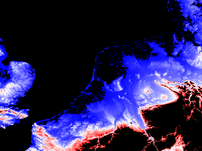
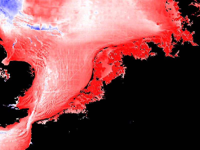
Figure: example of the same image, same style but different COLORSCALERANGE
...