...
The Somalia waters are well-known to the Dutch, not only because their navy protects merchant vessels against the pirates, but also because it is the place where you end up if you swap our lat-lon. What a pity we ever decided to say "lat-lon" (y-x) whereas for projections we say "x-y". The OGC WMS standard has to include a special case for this: the WGS84 coordinate system EPSG:4326 lead to so many x-y swaps, a separate coordinate system CRS84 had to be introduced where the order was explicitly specified. It is also a pity that this very system EPSG:4326 is the most used system in the world. Even expensive commercial software requires manual tweaking ESRI.
 =
=  !
!
Does this look identical to you: Rotterdam harbour at (52,4) and Somalia pirates at (4,52)
...
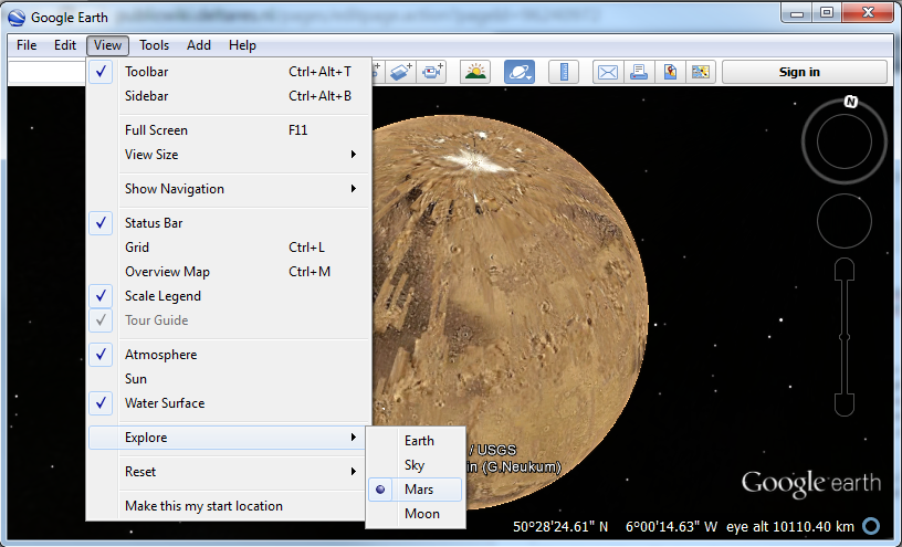
Time zones are only consistently added to meta-data for the last decades. Can you image how stupid they were in the past, how can you forget the timezone. Duh. Morons. But are we really much better now? Now image imagine humankind a few hundred years into the future, after colonizing Mars and beyond, and then finding old data files where they forgot to include the planet in their coordinate system codes. ("Yes, I heard you loud and clear, 37°14′06″N 115°48′40″W, but WHICH PLANET?. Over.")
different . Does this sound like science fiction to you: Google doesn't think so, they already implemented it, in Google Earth. Now let's wait for the GIS community to make the same step.

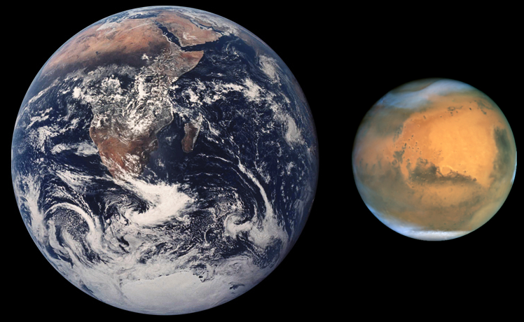
Different rocks, same spherical notation. What about planet metadata?
...