General
 5stardata.info
Vaklodingen bathymetry data in OpenEarth:
- Raw data + scripts (ascii + Matlab)
- Raw ascii data + Matlab tools for conversion to netCDF
https://svn.oss.deltares.nl/repos/openearthrawdata/trunk/rijkswaterstaat/vaklodingen/ (register at oss.deltares.nl)
- Raw ascii data + Matlab tools for conversion to netCDF
- Standardized data (netCDF on OPeNDAP). The netCDF files can be viewed and analyzed interactively with Ucit.
- 2012 release: production: http://opendap.deltares.nl/thredds/dodsC/opendap/rijkswaterstaat/vaklodingen/catalog.html, processed with the new
nc_genin Matlab OpenEarthTools. This new release now has 80% (37/46 items) conformity with ISO meta-data standards with ncISO (we'll aim for more in release 2013 next year) - 2011 release: production: (processed with with the generic
nc_multibeamnetCDF tiles toolbox withRijkswaterstaatvaklodingen tile configuration in Matlab OpenEarthTools). This old release has been deleted but can be regenerated any time with the old version of the processing chain as kept in SubVersion. - 2010 release: production: (generated with abandoned dedicated processing line in Python). This old release has been deleted but can be regenerated any time with the old version of the processing chain as kept in SubVersion.
- 2012 release: production: http://opendap.deltares.nl/thredds/dodsC/opendap/rijkswaterstaat/vaklodingen/catalog.html, processed with the new
- Visualized data (kml) (only 2012 release)
- Vaklodingen overview (with links to OPeNDAP): http://kml.deltares.nl/kml/rijkswaterstaat/vaklodingen_overview.kml
- All Vaklodingen data as tiled pngs, the same technology that Google Earth uses for all aerial imagery: http://kml.deltares.nl/kml/rijkswaterstaat/vaklodingen.kml
Vaklodingen description:
- Details on Vaklodingen 1.->2.->3. data conversion are here.
- This dataset originated from Rijkswaterstaat. For more information please consult their data 'front door' HelpDeskWater.
- Rijkswaterstaat functional design Maria processing software (matlab). rws.nl
- Rijkswaterstaat report in visualizing Vaklodingen. rijkswaterstaat.nl
- Rijkswaterstaat note on bathymetry accuracy for NAM http://www-static.shell.com/static/nam/downloads/pdf/monitoring/2010_rws_memo_vaklodingen.pdf
- Wiegman, N.; Perluka, R.; Oude Elberink, S.; Vogelzang, J. (2005). Vaklodingen: de inwintechnieken en hun combinaties. Vergelijking tussen verschillende inwintechnieken en de combinaties ervan. AGI-Rapport, AGI-2005-GSMH-012. Adviesdienst Geo-Informatica en ICT (AGI): Delft. 47 pp. http://www.vliz.be/imisdocs/publications/112037.pdf.
See also:


Structured info
The following text follows the schema.org convention and is used for structured search engines. See html source for details.
The vaklodingen dataset,
was made available by
Rijkswaterstaat.
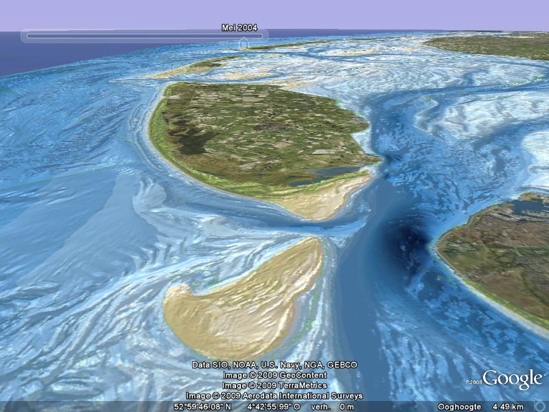
This dataset covers the bathymetry of the the Dutch (nl) coast, measured from 1928 up to present.