...
| Code Block | ||||
|---|---|---|---|---|
| ||||
<esriShapeLayer id="Peilgebieden"> <file>peilgebieden_example</file> <visible>true</visible> <selectByMapItemLocationRelation> <relationId>PEILGEBIED</relationId> <locationId>%GPGIDENT%</locationId> </selectByMapItemLocationRelation> <toolTip>%GPGNAAM%</toolTip> <timeZoneOffset>+01:00</timeZoneOffset> <startDateTimeAttributeName>STARTDATE</startDateTimeAttributeName> <endDateTimeAttributeName>ENDDATE</endDateTimeAttributeName> </esriShapeLayer> |
When a user double clicks on a shape in the grid display the plots dialog will automaticly open and the time series of the selected polygon will be shown. But with the introduction of time dependent locations it is possible that the polygon which overlaps a
selected geographical point varies over time. If this is the case the time series shown in the plots display will also vary over time.
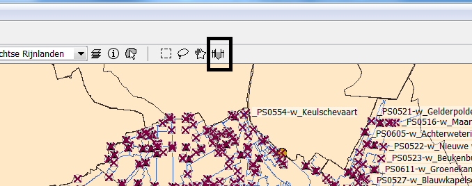
Filters and Map display
By default the map display and filters will not take into account that the locations shown are time dependent but shown the situation as it is at the display time. In the explorer.xml it is possible to configure that the map display shows a time slider
if locations are shown on the map which are time dependent.
| Code Block | ||||
|---|---|---|---|---|
| ||||
<locationHistoryBarRelativePeriod unit="week" start="-100" end="100"/>
|
The screenshot below shows the slider button which appears when the locationHistoryBarRelativePeriod is configured in the explorer.xml
After pressing this button a time slider appears.
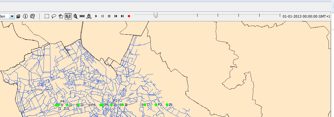
The time slider will show a time mark for each time in the view period were a location shown in the display changes. The default view period will be the period configured in the explorer.xml.
The view period can be changed by selecting the button "Period history time slider" (button with the clock and arrows). The t0 can be set to the selected time in the time slider by the button
"Set t0 to the selected time". If a location is not visible at the selected time in the time slider, the location will be shown in the map and the filters. But the location will be greyed out to indicate that
it is not valid at the selected time. For performance reasons the icons in the filters will not be updated according to the selected time when the time slider is shown in the map display. Activating the time slider
should be considered as going into a sort of special mode which allows to view how locations were configured in the past.
Time dependent map layers
The explorer and the grid dmap layers in the map display can be made time depedent in the same way as the map layers in the grid display.
Transformations
The transformation module automaticly takes into account the time dependency of the locations. No configuration is needed in the transformation module. If an end time is introduced for a location and time series are
in the database for this location after the end time than the part of the time series which is not valid anymore will be removed from the time series after it has been read from the database. The benefit of this approach is that
the configurator doesn't need to remove obsolete parts of time series for the location from the database.
Secondary validation
The secondary validation module also takes into account the time dependency of the locations.