This is a draft page
Welcome to CoDeS!
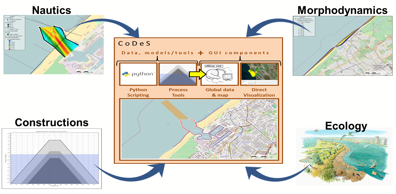
Coastal Design and Support tools (CoDeS tools) are a set of integrated and interactive tools, aimed to support engineers when designing coastal engineering solutions and with their communication towards clients and stakeholders. CoDeS tools integrate relatively simple engineering tools that provide quick insights for a range of different disciplines. This helps to arrive at promising solutions during early design stages. An easy to use Graphical User Interface (GUI) makes them accessible for a range of users (e.g. engineers, managers, reviewers), providing opportunities for interactive design sessions. CoDeS tools are under continuous development through a Joint Industry Project between Deltares, Witteveen+Bos and Royal HaskoningDHV.

| Multimedia | ||||||||
|---|---|---|---|---|---|---|---|---|
|
This wiki-page provides the a background of CoDeS, the User Manual, Disclaimer a disclaimer and Acknowledgementsthe acknowledgements. an An overview of the total contents can be found below.
Contents
Please find below an An overview of the contents of this wiki-page is provided below:
| Children Display | ||
|---|---|---|
|
Video Guide
A video introduction to CoDeS tools, including short applications, is presented below:
| Multimedia | ||||||
|---|---|---|---|---|---|---|
|
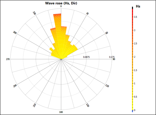
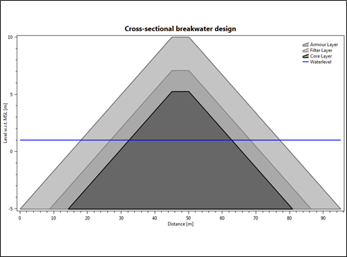
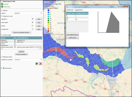
Visual impression


| Overview visual impression | |
| Generic data - Structures | Generic data - Tide |
| Generic data - Waves | Coastline dynamics |
| Wave penetration | Breakwater design |
| Channel sedimentation | Interactive flow fields |
| eCoDeS | Harbour basin siltation |