...
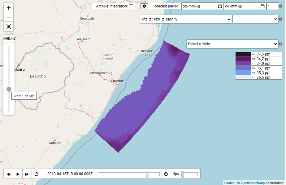
In case the GetCapabilities reports elevation as a dimension of the layer, a vertical slider will be displayed that will allow you to select the elevation. The slider will display the currently selected elevation value. On the button the name of the elevation is displayed, in this case: water_depth. The test page will use the reported elevation range to set the minimum and maximum values of the slider.
Download PNG or TIFF
Since 2021.02 the test page contains 2 download links:
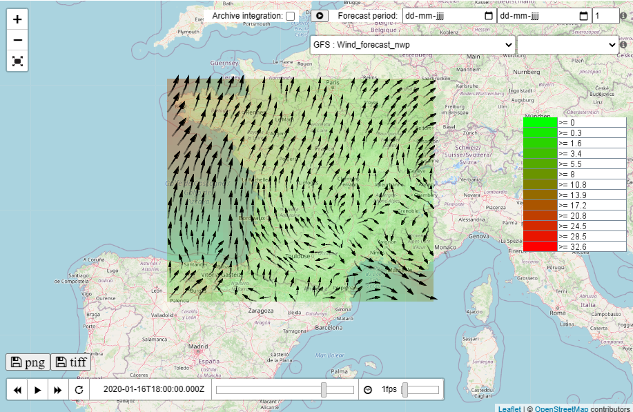
- PNG: download the map image that is currently displayed in the viewer
- TIFF: download only available for a wind layer configured with an u and v time series set. The u and v values will be coverted into RG values of a TIFF image. The offset and scale are stored as geotiff tags, which allows to calculate the original u and values from the R and G values.
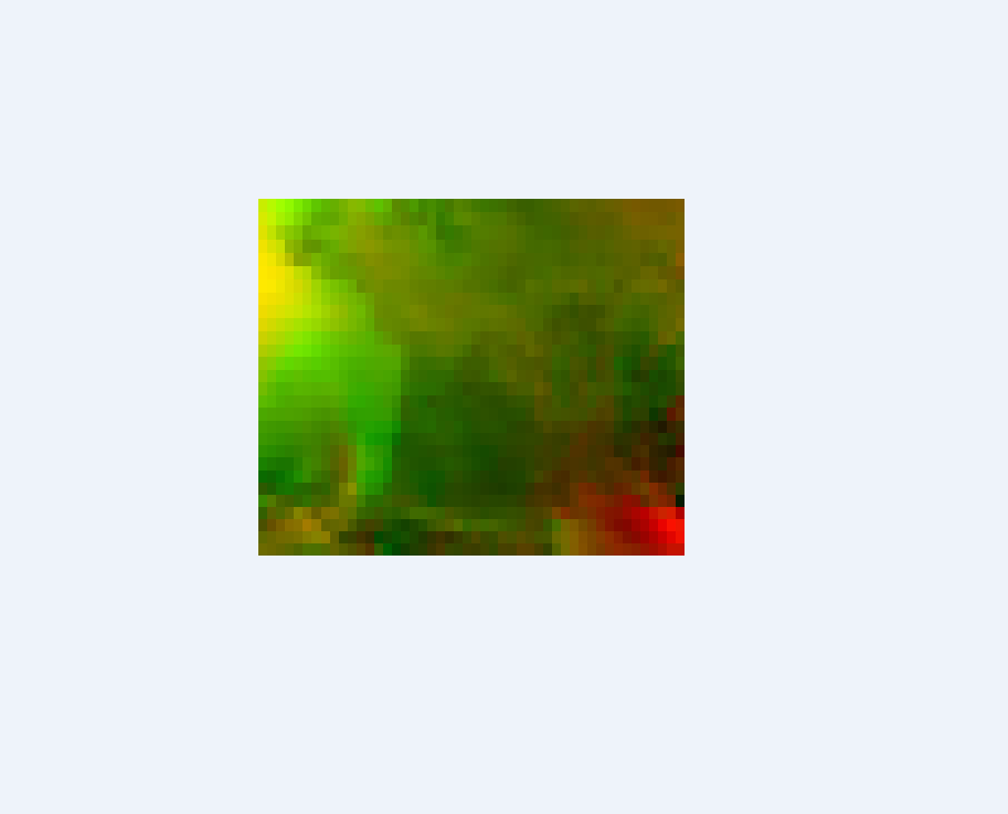
Downloading the same image as TIFF, will result in the following image: The Red channel is used for the U component of wind and the Green channel is used for the V component of wind.
Information about the offset and scale can be determined using GeoTIFF tags. The following is the meta information stored in the TIFF image, displayed with the tool jhove.
jhove.bat wms.tiff
This will report the following GeoTIFF properties:
GeoTIFFProperties:
ModelTiepointTag: -3.369999885559082, -6.0, 0.0, 0.0, 0.0, 0.0
ModelPixelScaleTag: 0.06125489994883537, 0.09243137389421463, 0.0
The ModelTiepointTag stores the offsets for the u and v values. Only the first two values are relevant. In this case the UOffset = -3.369999885559082 and the VOffset = -6.0.
The ModelPixelScaleTag stores the scales for the u and v values. Only the first two values are relevant. In this case the UScale = 0.06125489994883537 and the VScale = 0.09243137389421463.
As an example on how to calculate the U value for a specific pixel that has Red value of 100.
UValue = RValue * UScale + UOffset = 100 * 0.06125489994883537 + -3.369999885559082 = 2.75549010932
Properties
The following WMS specific properties can be configured in the FewsPiService.properties file. For more information on properties, see: FEWS Web Services configuration FewsPiService.properties
...