PostGIS is a collection of tables and function for PostgreSQL.
PostGIS adds support for geographic objects to the PostgreSQL object-relational database. In effect, PostGIS "spatially enables" the PostgreSQL server, allowing it to be used as a backend spatial database for geographic information systems (GIS), much like ESRI's SDE or Oracle's Spatial extension. PostGIS follows the OpenGIS "Simple Features Specification for SQL" and has been certified as compliant with the "Types and Functions" profile.
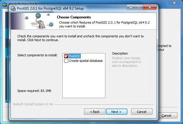
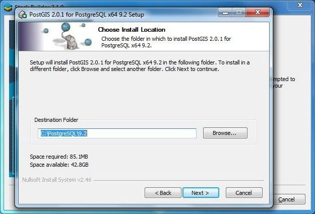
First you need to install PostgreSQL. PostGIS can be installed via the
"Application Stakc Builder that was installed with PostgreSQL".