...
Since 2015.02. Reference to a UGRID NetCDF file that contains only grid geometry meta data. This only supports mesh topologies (unstructured grids) with 2D coordinates. This can be 1D network, 2D triangular, 2D flexible or 3D layered mesh topologies. This currently only works for files that are compliant to the UGRID 1.0 conventions. For more information see https://github.com/ugrid-conventions/ugrid-conventions
Irregular grid definition from a UGRID NetCDF file
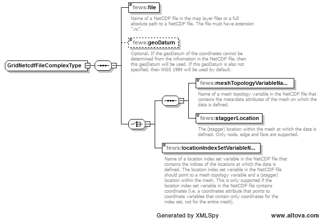
file
Name of a UGRID NetCDF file in the map layer files folder or a full absolute path to a UGRID NetCDF file. The file must have extension ".nc".
...
Name of a mesh topology variable in the UGRID NetCDF file that contains the meta-data attributes of the mesh on which the data is defined.
...
| Code Block |
|---|
[output] ... FlowGeomFile = f34_flowgeom.nc # *_flowgeom.nc Flow geometry file in NetCDF format. ... |
If the The produced flowgeom file is not must be in UGRID 1.0 NetCDF format, then you can change the format to UGRID NetCDF by changing the MapFormat to . Therefore you must use MapFormat = 4 in the D-Flow FM .mdu file in the output section:
| Code Block |
|---|
[output] ... MapFormat = 4 # Map file format, 1: netCDF, 2: Tecplot, 3: netCFD and Tecplot, 4: NetCDF-UGRID ... |
The flowgeom file format matches will match the configured map file format. If MapFormat is not set to 4, then Delft-FEWS cannot use the produced flowgeom file.
Config Examples
| Code Block | ||
|---|---|---|
| ||
<irregular locationId="meshLocation"> <netcdfFile> <file>simplebox_hex7_map.nc</file> <meshTopologyVariableName>insert_mesh_variable_name_here</meshTopologyVariableName> <staggerLocation>face</staggerLocation> </netcdfFile> </irregular> |
...