...
3D grids elevation and vertical profiles
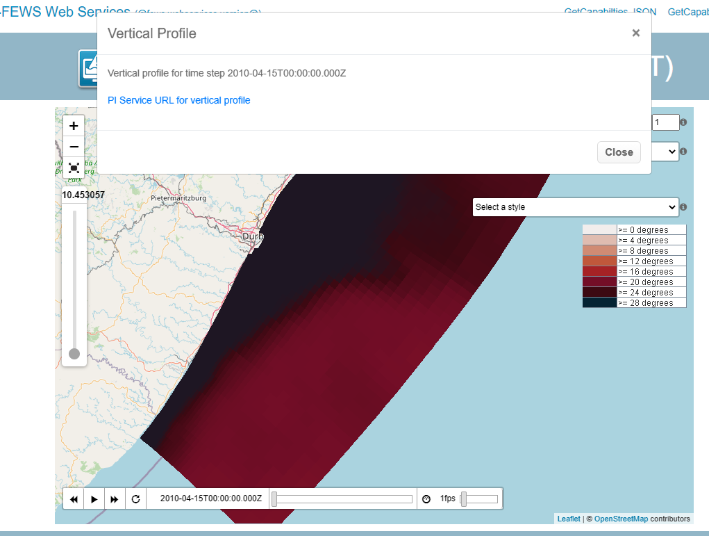
It is also possible to get a vertical profile for 3D data. On the WMS testing page this functionality can be tested by right clicking on a grid cell. When selecting the "Vertical Profile" option, a popup with the PI service URL will be generated that will get the timeseries of all elevations for a grid cell at the selected timestep. This is achieved by passing the showVerticalProfile=true parameter. It is possible to request vertical profiles for more than one time step by using the startTime and endTime.
An example request to get the vertical profile for one time step:
| Code Block |
|---|
http://localhost:8080/FewsWebServices/rest/fewspiservice/v1/timeseries/grid?documentFormat=PI_JSON&layers=kzn_temperature&x=3516714.7973443894&y=-3506319.361497606&startTime=2010-04-15T00:00:00.000Z&endTime=2010-04-15T00:00:00.000Z&bbox=3272727.803058107,-3739299.4237108226,3835304.3312370046,-3372401.6879419754&_=1602068935896&importFromExternalDataSource=false&showVerticalProfile=true |
The PI response of profiles will contain domain axes. In this example the water_depth is the domain axis and the different elevations are reported in the domainAxisValues.
| Code Block | ||||
|---|---|---|---|---|
| ||||
{
  "version" : "1.28",
  "timeZone" : "0.0",
  "timeSeries" : [ {
    "header" : {
      "type" : "instantaneous",
      "moduleInstanceId" : "kzn",
      "locationId" : "kzn",
      "parameterId" : "water_temperature",
      "timeStep" : {
        "unit" : "nonequidistant"
      },
      "startDate" : {
        "date" : "2010-04-15",
        "time" : "00:00:00"
      },
      "endDate" : {
        "date" : "2010-04-15",
        "time" : "00:00:00"
      },
      "forecastDate" : {
        "date" : "2019-10-10",
        "time" : "18:00:00"
      },
      "missVal" : "-999.0",
      "stationName" : "kzn",
      "units" : "degrees",
      "domainAxis" : [ {
        "parameterId" : "water_depth",
        "units" : "m"
      } ],
      "creationDate" : "2020-06-24",
      "creationTime" : "06:19:05",
      "approvedDate" : {
        "date" : "2020-06-24",
        "time" : "06:19:09"
      }
    },
    "domains" : [ {
      "domainAxisValues" : [ {
        "parameterId" : "water_depth",
        "values" : [ [ "36.49779" ], [ "109.4925" ], [ "182.48721" ], [ "255.48279" ], [ "328.4775" ], [ "401.4722" ], [ "474.4678" ], [ "547.4625" ], [ "620.4572" ], [ "693.4528" ], [ "766.4475" ], [ "839.4422" ] ]
      } ],
      "events" : [ {
        "date" : "2010-04-15",
        "time" : "00:00:00",
        "flag" : "2",
        "values" : [ [ "26.1" ], [ "21.0" ], [ "17.7" ], [ "15.2" ], [ "13.3" ], [ "11.7" ], [ "10.6" ], [ "10.0" ], [ "9.5" ], [ "8.8" ], [ "8.1" ], [ "7.4" ] ]
      } ]
    } ]
  } ]
} |
GET archive/parameters (2020.01)
...