Deltares has developed Delft3D, for integrated 3D modeling of rivers, coastal areas and estuaries. This program has several modules with amongst others: open channel flows (FLOW), wave driven hydrodynamics (WAVE) and water quality (WAQ). These modules cover the modeling of specific flow patterns, morphological developments and ecology in a discretized way.
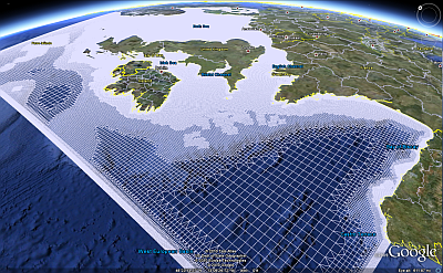
The conventional way of the numerical discretisation (in 2DH) is with quadrangles (structured), where a rectangular or curvilinear grid is fitted to the area of interest. Refining the resolution of the grid enables to give predictions on a much smaller spatial scale, but enlarges computational effort. Modeling high resolution requires small detail in the domain, but on the other hand, integration of large physical processes for a realistic outcome. Often these spatial scales are thus far apart that this problem is overcome with domain decomposition or (multiple) nested models.
A rather new development is an unstructured grid, also called a flexible mesh (FM), made of polygons instead of only quadrangles. This enables much more flexibility for refining the resolution within one domain. In the Delft FM approach, this new development is yet only build for modeling open channel flows in D-Flow FM (Kernkamp et al., 2011). An interesting extension of modeling hydrodynamics on a FM, is to coastal regions. Hydrodynamics, driven by a.o. waves and tidal currents, get here a whole new dimension.
Benefits of modeling with a FM are flexibility in resolution, more accurate results with less computational effort and flexibility in connecting several grids. Due to the flexibility in resolution, nested models are no longer required. Here for, points of interest with different length scales are simulated with one single model. A complex delta with lots of meandering gullies, for example, is hard to model with a curvilinear grid conform the orthogonality requirements. Whereas the use of a FM enables the grid to follow the flow pattern much better, which leads to more accurate results.
Since spring 2010, Deltares has been testing the integration of FM in Delft3D-FLOW (D-Flow FM) with success. The first results are promising for the development in computational modeling. There is a strong demand in evaluating this expertise on higher levels of hydraulic engineering (Kernkamp et al., 2011). Coastal modeling belongs to one of these categories. Complex bottom patterns, such as shallow sandbanks, gullies and rip channels, can form difficulties in modeling. For improving these coastal models, an integration of FM modeling is a priori required. Realizing this piece of engineering requires a coupling of D-Flow FM with Delft3D-WAVE and investigating the pros and cons of the results, compared to the structured way of modeling.
Info:
