E.g. a buffer which can be used to model erosion
Prerequisites
- Shape layers of the sub-areas and the receptors as well as a FEWSGrid.txt (see Tutorial: Creating a <receptor>.txt file)
- The MMQGIS plugin (by http://michaelminn.com/linux/mmqgis/) needs to be installed (Plugins -> Manage and Install Plugins)
Step - by - step QGIS tutorial
- Follow steps 1 - 7 of Tutorial: Creating a <receptor>.txt file
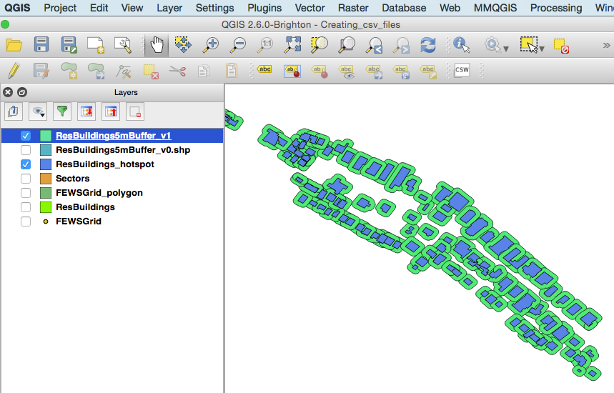
- Create a buffer (e.g. 5m) around each receptor (MMQGIS -> Create -> Create Buffers)

- Subtract the original receptor polygons from the new buffer layer to obtain rings around the receptor (Vector -> Geoprocessing Tools -> Difference). The resulting layer contains (potentially overlapping) buffer rings, each associated with their unqiue receptorID.
- Use this layer to proceed with steps 7 - 9 of Tutorial: Creating a <receptor>.txt file